South-West Dutch Delta
- Home
- Case Pilots
- South-West Dutch Delta
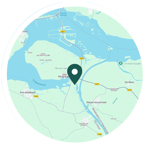
Protection Status: Natura 2000 SPA and SIC, National Park (Oosterschelde, 36,978 ha), Ramsar (Grevelingen, 13,753 ha)
South-West Dutch Delta
A large part of the Netherlands lies below sea level where water finds its way to the sea via the many large rivers that flow through the country. This makes the Netherlands a typical delta region, making it an attractive place to live and therefore attracting many human activities. Due to the abundance of water and its low position, the Netherlands is prone to flooding. In the South-West Delta, three major rivers flow into the sea: the Rhine, the Maas and the Scheldt. The South-West Delta (Delta waters and Voordelta) contains at the same time natural values that are rare in Europe, has a high species diversity and provides a habitat for a large number of certain species.
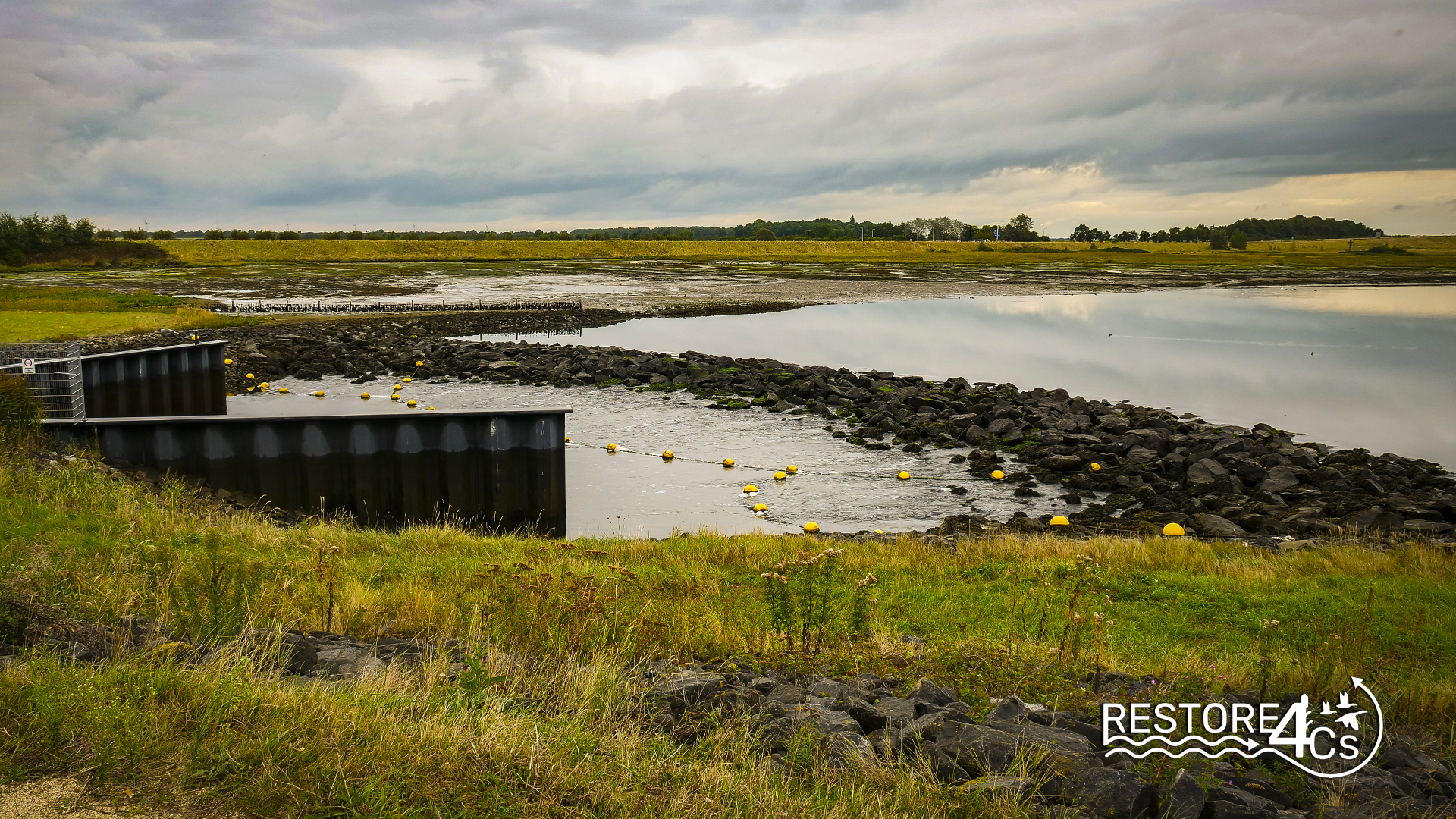
A severe north-westerly storm in 1953, combined with spring tides flooded large parts of the South-West Delta. The “Watersnoodramp” is the largest Dutch natural disaster of the 20th century, with major societal consequences. After the disaster, the Delta Works restored water safety in the area (source: De Deltawerken (rijkswaterstaat.nl)). The dams and storm surge barriers have greatly shortened the coastline and the dynamics of the sea and rivers, and fresh and salt water have been limited. This created different water basins: fresh and salty, with and without tides. The area has several complex safety, freshwater and spatial planning challenges. These challenges are partly the result of climate change. For this reason, a priority strategy has been developed for the area within the national Delta Programme (source: Zuidwestelijke Delta | Gebieden | Deltaprogramma). The South-West Delta’s ambition is to be a climate-resilient region by 2050, with specific areas of focus in the Programme on water safety, freshwater, ecology and water quality, and spatial adaptation.
The Delta Works have also created new problems: erosion of areas outside the dikes, in addition to issues of water and soil quality. The bottom of Lake Grevelingen is deoxygenated in the deeper parts due to insufficient flow. Sand is constantly being lost from the sandbars in the Eastern Scheldt due to erosion (‘sand starvation’ of the channels).
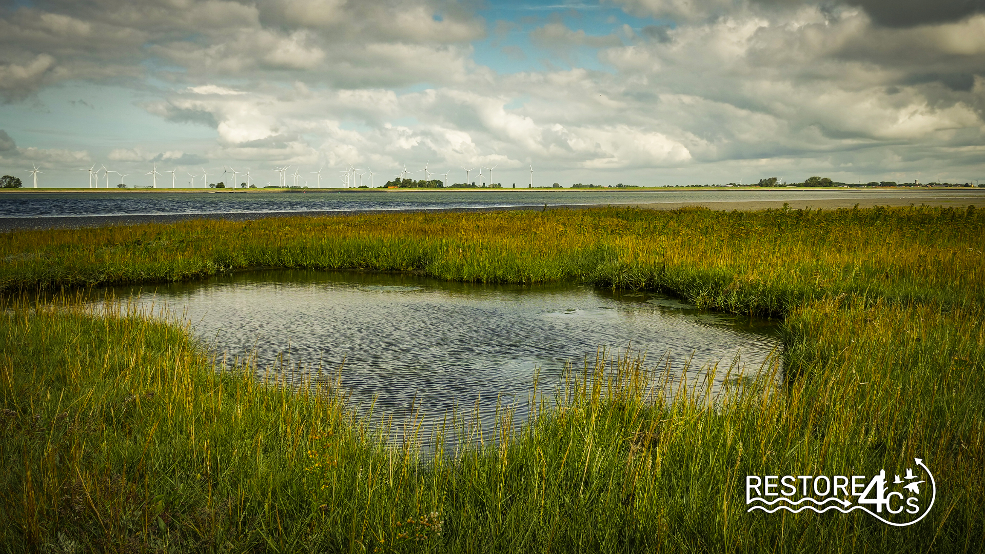
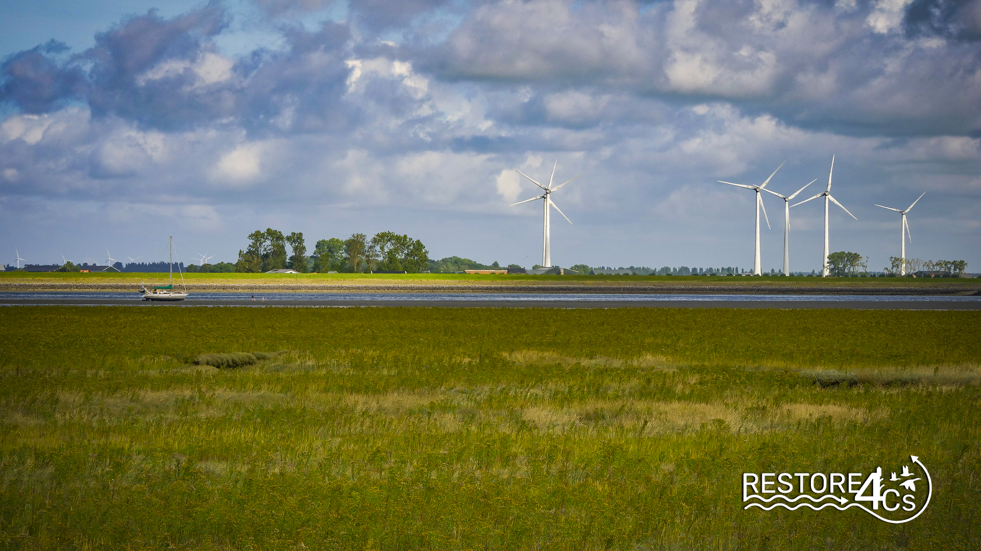
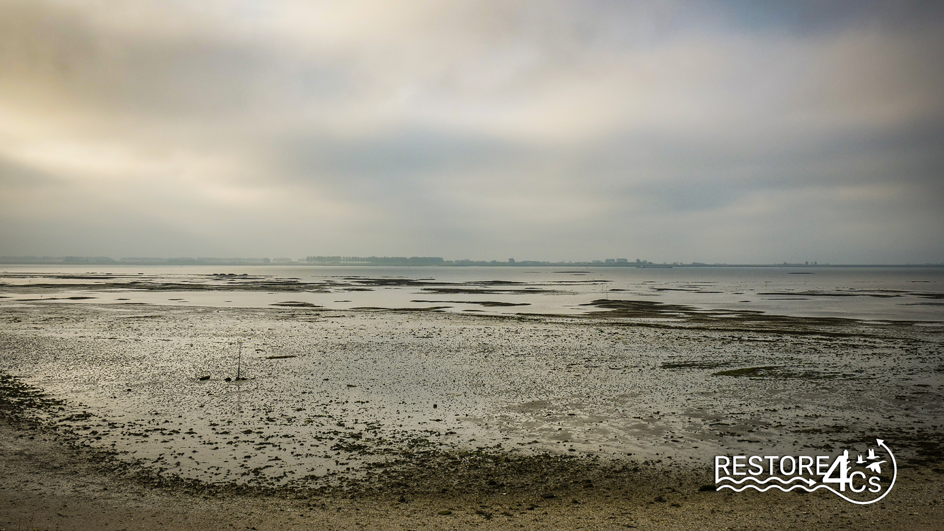
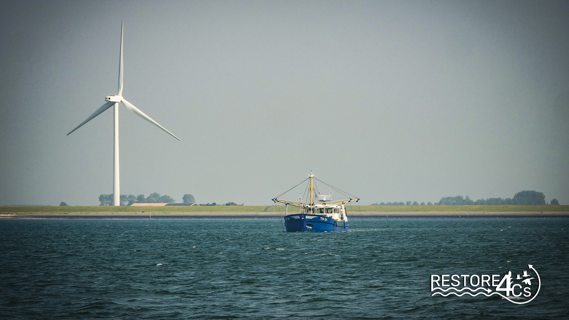
The South-West Delta in the Netherlands is a large area of intertidal waters with mudflats, islets, sand dunes and wet meadows. The marshland plays a major role in flood mitigation. The Eastern Scheldt is an important area for birds that forage on the tidal mudflats and flats for the shellfish (cockles) present. It is also a relevant area for shellfish farming (mussels and oysters), which depends on sufficient food (algae) in the water column. The South-West Dutch Delta Case Pilot areas are located in the Eastern Scheldt and Western Scheldt.
In 1986, the Eastern Scheldt was closed off from the sea by a storm surge barrier, which still allows tidal action (Oosterschelde | Natura 2000). As a result of tidal currents, erosion and sedimentation processes occur, resulting in a variable pattern of salt marshes, mud flats and tidal flats (the intertidal zone), shallow water and deep tidal channels. At the mouth of the Eastern Scheldt are the deepest current channels, locally reaching a depth of 45 metres. Between these current channels and in the area east of the Zeeland Bridge are extensive areas of shallow waters with sandbanks. Large areas of mudflats occur in the east and north of the area. Inside the dike, “inlagen” (the area between the outer dike and the inner dike is called “inlaag” as additional protection against flooding; Inlagen en karrenvelden – Zeeuwse Ankers) and creek remnants are included in the area along the shore. These areas mainly consist of wet grasslands and open water. The water, the intertidal area and the inner dike areas together form the habitat for the area’s rich flora and fauna. The wide variety of environmental types in the area is accompanied by a great diversity of animal and plant species. This variation in environmental types is determined by factors such as tides, currents, water temperature, altitude, water quality and sediment composition.
The Western Scheldt is a waterway that is in open communication with the North Sea and the Scheldt. The Western Scheldt is an important link between Antwerp, Belgium, and the North Sea, which is one of the world’s busiest waterways with large tidal ranges. There are also many sandbanks. Vlissingen, Terneuzen and Antwerp are key locations for the chemical, metal and electrical industries. Also, for hinterland industries, the Western Scheldt is an important transport artery for both maritime and inland navigation. There are also important locations for recreational shipping.
Research is being conducted for the area to make the region climate resilient. In the context of the Area Consultation South-West Delta, an Integral Knowledge Agenda has therefore been set up to bring together knowledge questions in the area (Kennisagenda – Zuidwestelijke Delta (zwdelta.nl)). The recently established Delta Climate Center in Vlissingen is starting education and research on water and energy management and new forms of food supply. The DCC focuses on creating sustainable, climate-resilient and prosperous deltas. The following institutions work together in the DCC: Scalda, HZ University of Applied Sciences, University College Roosevelt, NIOZ Marine Research, Utrecht University and Wageningen University and Research.
Achievements
- Lorem ipsum dolor sit amet, consectetur adipiscing elit.
- Lorem ipsum dolor sit amet, consectetur adipiscing elit.
- Lorem ipsum dolor sit amet, consectetur adipiscing elit.
WHY THIS CASE PILOT MATTERS
How and what research is carried out at this site
The South-West Dutch Delta was chosen as Case Pilot because of the value of the ecosystem services it provides to society, its vulnerability to fragmentation and loss, and its potential role in storing ‘blue carbon’. It is a large area of tidal wetlands with mudflats, islets, sand dunes and wet meadows. The wetlands play an important role in flood mitigation. Within the South-West Dutch Delta, the focus is on the Oosterschelde and the Westerschelde because of the special characteristics of these areas. Land use in the case study area is becoming increasingly complex. This is due to the combination of many different functions: security, nature, fishing, recreation, agriculture and shipping. Functions that can be mutually reinforcing, but also in conflict.
Coastal wetlands in north-west Europe have been identified as having major data gaps in terms of mapping and defining their habitats, their condition and the pressures on their biodiversity and ecological integrity, which are crucial for addressing land-sea governance issues. By focusing on coastal wetlands such as the South-West Dutch Delta and its catchment, the approach used in RESTORE4Cs allows for scaling up and generalisation to other types of freshwater wetlands, including floodplains and peatlands.
A large area of intertidal waters with mudflats, islets, sand dunes and wet meadows.
Research conducted for the area to make the region climate resilient.
Ambition to be a climate-resilient region by 2050, with specific areas of focus in the Programme on water safety, freshwater, ecology, water quality, and spatial adaptation.
Area with several complex safety, freshwater and spatial planning challenges, some of which are related to climate change.
Major data gaps in terms of mapping and defining north-west European coastal wetlands’ habitats and the pressures on their ecological integrity.
KEY SCIENTIFIC PAPERS
25/03/2024
Lorem ipsum dolor sit amet, consectetur adipiscing elit, sed do eiusmod tempor incididunt ut labore et dolore magna aliqua
Authors: Pippo, Pluto, Topolino
25/03/2024
Lorem ipsum dolor sit amet, consectetur adipiscing elit, sed do eiusmod tempor incididunt ut labore et dolore magna aliqua
Authors: Pippo, Pluto, Topolino
25/03/2024
Lorem ipsum dolor sit amet, consectetur adipiscing elit, sed do eiusmod tempor incididunt ut labore et dolore magna aliqua
Authors: Pippo, Pluto, Topolino
25/03/2024
Lorem ipsum dolor sit amet, consectetur adipiscing elit, sed do eiusmod tempor incididunt ut labore et dolore magna aliqua
Authors: Pippo, Pluto, Topolino
Local STAKEHOLDERS
Timeline
02/10/2023 – 06/10/2023
1st Sampling Campaign
20/05/2024 – 24/05/2024
3rd Sampling Campaign
04/03/2024 – 08/03/2024
2nd Sampling Campaign
29/07/2024 – 02/08/2024
4th Sampling Campaign
